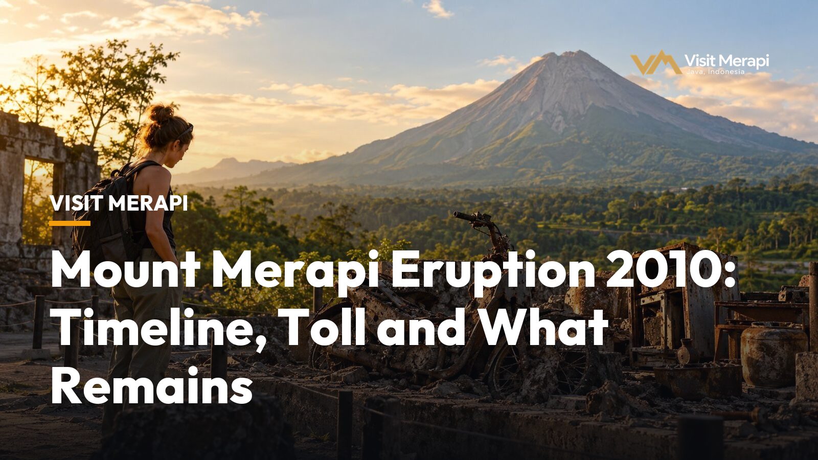
The Mount Merapi eruption 2010 began at 17:02 local time on 26 October 2010. Wikipedia calls it the volcano’s largest eruption since 1872 and rates it VEI 4. Pyroclastic flows (fast, hot avalanches of gas and rock) swept the southern slopes, more than 350,000 people were evacuated, and the death toll is given as 341, 353 or 386 depending on the source. This guide sets out the timeline, explains why the numbers differ and shows what the eruption left on the slopes that you can still see. Figures come from Wikipedia, the US Geological Survey (USGS) and press reports from the time, and where they disagree we say so.
Mount Merapi eruption 2010: timeline
The eruptive phase ran from 26 October to the end of November. The steps below come from USGS notes and Wikipedia’s account of the crisis.
| Date | What happened | Source |
|---|---|---|
| 20 September | Alert raised to Level II (of 4) after seismicity rose from early September | Wikipedia |
| 22 October | Scientists recognise earthquakes, gas emissions and ground movement far more intense than the usual level | USGS |
| 25 October, 18:00 | Highest alert level set; everyone within 10 km of the summit told to evacuate | USGS |
| 26 October, 17:02 | Eruption begins about 23 hours after the top alert; first flows reach 8 km; first deaths, including Mbah Marijan | USGS, Wikipedia |
| 3 November | Evacuation zone widened to 15 km | USGS |
| Night of 3 to 4 November | Heavy rain triggers lahars (volcanic mudflows) in the Kuning, Gendol, Woro, Boyong, Krasak and Opak rivers | Wikipedia |
| 4 to 5 November | Stronger explosions during the night, the climax of the sequence; zone widened to 20 km early on 5 November | USGS |
| End of November | Lava extrusion continues with moderate, declining explosive activity | USGS |
| 3 December | Alert lowered from Level IV to Level III | Wikipedia |
The gap between the top alert and the first explosion was about 23 hours. That short warning window is one reason the evacuation orders mattered so much.
What caused the Mount Merapi eruption 2010?
The USGS explains the size of the event through the magma. Merapi usually produces small to moderate eruptions every few years, when parts of a lava dome collapse and send flows that commonly travel less than 8 to 10 km. Larger explosive eruptions come less often and are fuelled by more gas-rich magma rising from a deeper source. Their flows easily reach 15 km. In 2010 the warning signs included more energy in earthquakes and tremor, faster swelling of the summit, higher lava extrusion rates in the first week and larger releases of carbon dioxide and sulfur dioxide.
Wikipedia gives the swelling numbers. At the end of September the lava dome was inflating at an average of 6 mm a day. By 21 October the rate had reached 105 mm a day, and by 24 October 420 mm a day, which is four times the 21 October rate in three days. The USGS adds that there is not yet a sure method of forecasting whether a typical eruption will turn out larger or smaller than usual.
How many people died in the Mount Merapi eruption 2010?
The honest answer is a range. The count rose through the crisis as bodies were found and burn victims died. Wikipedia reports 38 deaths on 1 November, 122 by the afternoon of 5 November, 275 by 18 November, 324 by 24 November and 353 by 3 December. The sources below then settle on different totals.
| Source | Deaths | Note |
|---|---|---|
| Wikipedia, 2010 eruptions article | 386 | Infobox and introduction |
| Wikipedia, Mount Merapi article | 353 | Figure reached by 3 December |
| VOA | 353 | Report on Merapi disaster management |
| USGS | 341 | Volcano Watch note written three months later |
| Jakarta Post, 16 November 2010 | More than 240 | Written while the crisis was still running |
The highest and lowest final figures, 386 and 341, differ by 45. We therefore describe the toll as 341 to 386 and do not pick a single number.
Wikipedia puts the evacuation at over 350,000 people, and the USGS at nearly 350,000. The USGS also says the eruption destroyed more than 2,000 homes and caused estimated losses of US$781 million. It says timely warnings and evacuations saved between 10,000 and 20,000 lives, and singles out the decision to widen the zone from 15 to 20 km.
The reach of the 2010 eruption
In the Mount Merapi eruption 2010, the hot clouds travelled much further than in a typical event. The USGS gives 15 km for the longest pyroclastic flow. Wikipedia quotes the head of the Yogyakarta volcano agency BPPTK saying that the hot ash clouds reached 14.5 km, against 11 to 12 km in 1872. Bronggang hamlet, 14.5 km from the crater, had been designated a safe zone, yet at least 78 bodies were pulled from its homes and streets, according to Wikipedia. The Jakarta Post reported that Kinahrejo and Kaliadem were swept by the hot clouds on 26 October, and that people had long believed the southern slope would be spared.
The effects were felt far beyond the slopes:
- Ash. Ash fell on Magelang on 29 October and on Yogyakarta city on 30 October, and Adisucipto airport closed several times (Wikipedia).
- Borobudur. About 28 km from the crater, the temple received ash up to 2.5 cm thick and was closed from 5 to 9 November to clean up the ash (Wikipedia).
- Gas. NASA satellite data tracked a sulfur dioxide cloud and, as of early November, put Merapi’s output at about 1 percent of what Pinatubo released in 1991.
Merapi after 2010: still active
The Mount Merapi eruption 2010 changed the mountain itself. Wikipedia says the height dropped by 38 m to 2,930 m. It also lists later eruptions in 2013, 2018, 2021, 2023 and 2024, so there is no single “last eruption”: its infobox describes Merapi’s last eruption as ongoing. This is why people asking about the Mount Merapi last eruption get no tidy date.
The current alert level is III (Siaga), set on 5 November 2020 according to Yogyakarta’s disaster agency BPBD. Under Indonesian regulations, Level III means activity has clearly increased or an eruption could threaten the area around the eruption centre, but not settlements.
A report on BPPTKG data in Suara Garut said the centre kept Level III for 8 to 11 October 2026 (checked 14 October 2026). Over 2 to 8 October it counted 1,071 earthquakes and 40 lava avalanches of up to 2,500 m, with no pyroclastic avalanche that week. Climbing is not recommended: the national park authority said in June 2026, as reported by detik, that the summit remains closed and that a 3 km radius should be kept free of activity.
Read Mount Merapi alert level explained and is Mount Merapi safe to visit before planning, and can you hike Mount Merapi for the closure rules. Merapi is also easy to confuse with a volcano in Sumatra; see Mount Merapi vs Marapi.
Sites from the Mount Merapi eruption 2010 you can see today
Jeep tours on the southern slope stop at places linked to the Mount Merapi eruption 2010. Backindo, a travel site, says the lava tour started in 2013, and a VOA report on disaster management says open-air jeep tours attract 3,000 to 10,000 visitors on a weekend. Which stops you get depends on the route, the operator and the day.
- Museum Sisa Hartaku. Telkomsel’s guide describes cow skeletons, a wall clock that stopped when the hot cloud struck and melted household items. Headout’s jeep listing says it displays artifacts and remnants from the 2010 eruption.
- Alien Rock. Telkomsel calls it a giant volcanic rock thrown from the crater that looks like a human face from a certain angle.
- Kaliadem Bunker. Backindo says it was built in 2001 as a shelter, and that two people who took refuge in it during the 2006 eruption died from the heat.
- Mbah Marijan’s house. Backindo describes a memorial in Kinahrejo with household objects, a motorbike skeleton, gamelan instruments and a charred van. Telkomsel lists it from the medium trip upward.
Telkomsel’s 2026 estimates run from about IDR 400,000 to 450,000 per jeep for a short trip of 1.5 to 2 hours, up to IDR 650,000 to 750,000 for a long trip of 3 to 3.5 hours. Our own reference prices on the tour packages page run from IDR 500,000 to 750,000 per jeep (up to four guests), and operators confirm the final price. Backindo puts the lava tour area about 27 km from Yogyakarta, roughly an hour by road.
Visiting a memorial landscape respectfully
Villages here were destroyed in the Mount Merapi eruption 2010, and the Jakarta Post counted at least 44 deaths at the start of the sequence, mostly in Kinahrejo. Treat the stops as memorials:
- Ask before photographing people, and be careful with personal objects on display.
- Follow your driver-guide’s directions at each stop and stay on the track.
- Speak quietly at the Mbah Marijan memorial.
- If a site invites a donation, ask your driver-guide what is usual.
To see these places with a driver-guide, compare the routes on the tour packages page or send your dates through the contact page.
Mount Merapi: A Visitor’s Guide to Java’s Active Volcano
Compare tours with their reference prices.
View tours