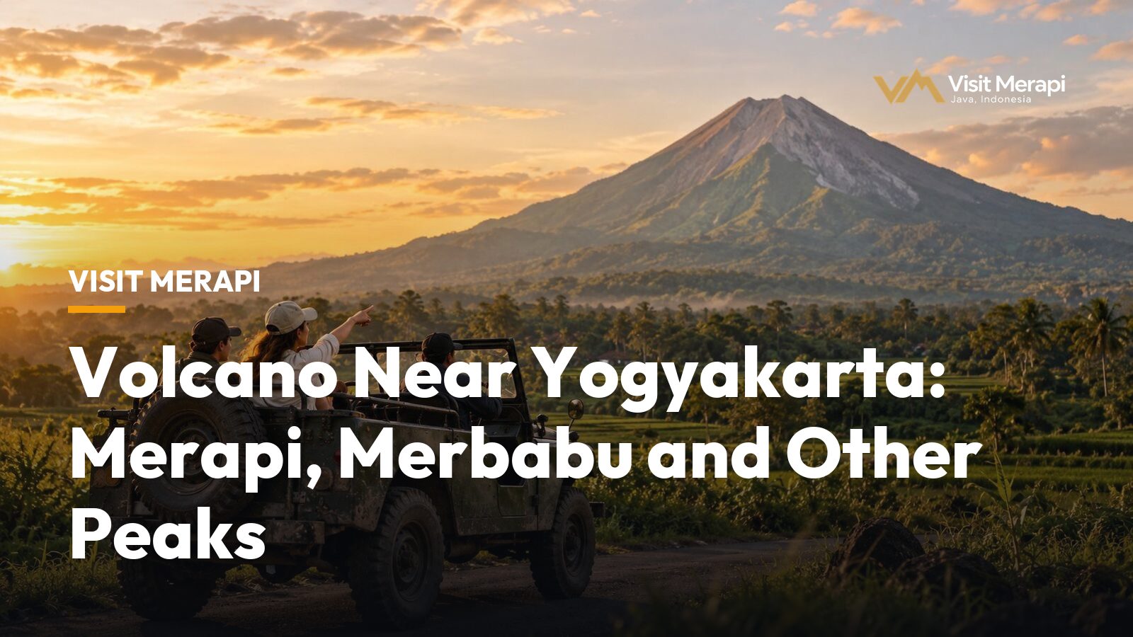
The volcano near Yogyakarta that most visitors mean is Mount Merapi, about 28 km north of the city according to Wikipedia, which also calls it the most active volcano in Indonesia. Its summit is closed to climbers, but the lower southern slope can be explored on a guided jeep tour. If you want a hike instead, Backindo suggests Mount Merbabu next door, and Sumbing, Sindoro and Lawu are other options. This guide compares them, using status information we checked in October 2026.
Which volcano near Yogyakarta can you visit?
All five mountains below are in Central Java or on its border, and each is a different kind of day. The heights and eruption history come from Wikipedia. Access is the part that changes, so it is the part to check before you go.
| Volcano | Height | Status | What visitors do |
|---|---|---|---|
| Merapi | 2,968 m | Active; Alert Level III since November 2020 | Jeep tour on the lower slopes; summit closed |
| Merbabu | 3,145 m | Dormant; last eruption 1797 | Hike on one of five official routes; booking required |
| Sumbing | 3,371 m | Active stratovolcano; one reported eruption, in 1730 | Trek; not covered here |
| Sindoro | 3,153 m | Semi-active; last eruption in 1971 | Trek; not covered here |
| Lawu | 3,265 m | Only reported activity in 1885 | Trek; not covered here |
Merapi’s height differs even inside Wikipedia: 2,968 m in the infobox, and 2,930 m in the text after the 2010 eruption lowered it by 38 m. Each volcano near Yogyakarta asks for a different amount of time, effort and preparation.
Mount Merapi: the volcano near Yogyakarta you can see up close
Merapi is on Alert Level III (Siaga), set on 5 November 2020, according to Yogyakarta’s disaster agency BPBD. A report on BPPTKG data in Suara Garut said the monitoring centre kept Level III for 8 to 11 October 2026 (checked 14 October 2026). The summit is closed. In June 2026 the national park authority said, as reported by detik, that climbing remains closed with no end date and that a 3 km radius around the summit should be kept free of activity. Backindo, a travel site, made the same point as of July 2026. Read the Merapi hike guide and Mount Merapi alert level explained for the details.
What you can do instead is a jeep tour on the lower southern slope, on tracks cut through the landscape of the 2010 eruption. Telkomsel’s 2026 guide lists stops such as Museum Sisa Hartaku, Alien Rock, the Kaliadem Bunker and Mbah Maridjan’s house, and a wet crossing of the Kali Kuning river. It gives a short trip as 1.5 to 2 hours, a medium trip as 2 to 2.5 hours and a long trip as 3 to 3.5 hours, with sunrise trips starting at 04:30. Each jeep takes up to four passengers, according to Telkomsel and Headout, and Headout says children under 5 are not recommended.
Telkomsel’s estimates for 2026 run from about IDR 400,000 to 450,000 per jeep for the short trip up to IDR 650,000 to 750,000 for the long one, and IDR 500,000 to 700,000 for sunrise. Our reference prices on the tour packages page run from IDR 500,000 to 750,000 per jeep, to be confirmed by the operator. Backindo puts the lava tour area about 27 km from the city, roughly an hour by road. With a ride of 1.5 to 3.5 hours and about an hour’s drive each way, the outing takes roughly 3.5 to 5.5 hours. See how far Mount Merapi is from Yogyakarta.
Two common questions have short answers:
- How often does Merapi erupt? Wikipedia says it has erupted regularly since 1548, with small eruptions typically every two to three years and larger ones every 10 to 15 years or so. Oregon State University’s Volcano World counts 68 historic eruptions since 1548.
- Can you see lava? Backindo says glowing lava can sometimes be seen on active nights from distant viewing areas, but sightings depend on activity, weather and visibility.
Mount Merbabu: the dormant neighbour for hikers
Backindo says Merbabu is usually the better alternative if your main goal is hiking, which makes it the volcano near Yogyakarta to consider while Merapi’s summit is closed.
Merbabu is a dormant stratovolcano, and Merapi is directly adjacent on its southeast side, according to Wikipedia. It has two known moderate eruptions, in 1560 and 1797, and a 57 square kilometre national park declared in 2004. A broad saddle about 1,500 m high with the village of Selo separates it from Merapi. Its highest point, Kenteng Songo, is 3,145 m. The Jakarta Post wrote in 2014 that Merapi’s smoky peak is only a stone’s throw away from there, and that it is the best spot to see the peaks of Sindoro, Sumbing and Lawu above the clouds.
The national park has five official routes: Thekelan and Cuntel in Semarang district, Selo in Boyolali, and Suwanting and Wekas in Magelang, according to detik. Hikers must book online through the park’s website. Dry-season fire prevention can close a route: Thekelan was closed from 1 to 4 October 2026 and Wekas from 5 to 31 October 2026, reported detik on 29 September, and Tribun Travel pointed out that this did not close the whole mountain. Check the park for November conditions.
Expect a serious hike. Wikipedia gives 8 to 10 hours from Kopeng to the summit, though that figure carries a citation-needed tag, and the Jakarta Post described the Wekas route as about eight hours up. One Singapore operator sells a two-day trek from the Suwanting trailhead at about 1,300 m, with 7 to 8 hours to a camp at about 2,700 m and a pre-dawn summit climb. It lists May to October as the climbing season and warns that it can get very cold and rain even then.
Sindoro, Sumbing and Lawu: other volcanoes in the region
Sumbing and its neighbour Sindoro are symmetrical stratovolcanoes in Central Java. Wikipedia places Sumbing in the regencies of Temanggung, Wonosobo and Magelang, and Sindoro in Temanggung and Wonosobo. It calls Sindoro semi-active, with a last eruption in October and November 1971. For Sumbing, which Wikipedia calls an active stratovolcano, the only reported historical eruption is from 1730. A Mount Merapi Tour listing says Sindoro is about 2 hours’ drive from Yogyakarta and sells it as a two-day, one-night trek via the Kledung route.
Lawu straddles the border of East and Central Java. Wikipedia says its only reported activity was in 1885, but also cites a study suggesting geothermal heat that indicates it may still be active. We do not run or review hikes on these three, so ask the park authority or a licensed guide for current rules.
Choosing a volcano near Yogyakarta
Use this table to pick a volcano near Yogyakarta by what you want to do.
| If you want to… | Choose |
|---|---|
| See an active volcano without hiking | Merapi jeep tour |
| Fit a volcano into a morning | Merapi jeep tour |
| Travel with children or older relatives | Merapi jeep tour; ask about age limits |
| Climb to a summit with wide views | Merbabu with a guide, if its route is open |
| Reach the top of Merapi | Not possible while the closure lasts |
Checking conditions before you go
- Merapi status. Look for the latest BPPTKG report, which Indonesian media such as Suara Garut summarise. See is Mount Merapi safe to visit.
- Merbabu routes. Check which routes are open and book through the national park website.
- Your operator. Ask how routes change when activity or weather changes.
- The name. Merapi on Java is a different mountain from Marapi in Sumatra; see Mount Merapi vs Marapi.
If you only have time for one volcano near Yogyakarta, the jeep is the simplest. Compare the sunrise jeep tour with the other routes on the tour packages page, read the Mount Merapi destination page, or send your dates through the contact page.
Merapi Volcano Tour from Yogyakarta: How the Day Works
Compare tours with their reference prices.
View tours