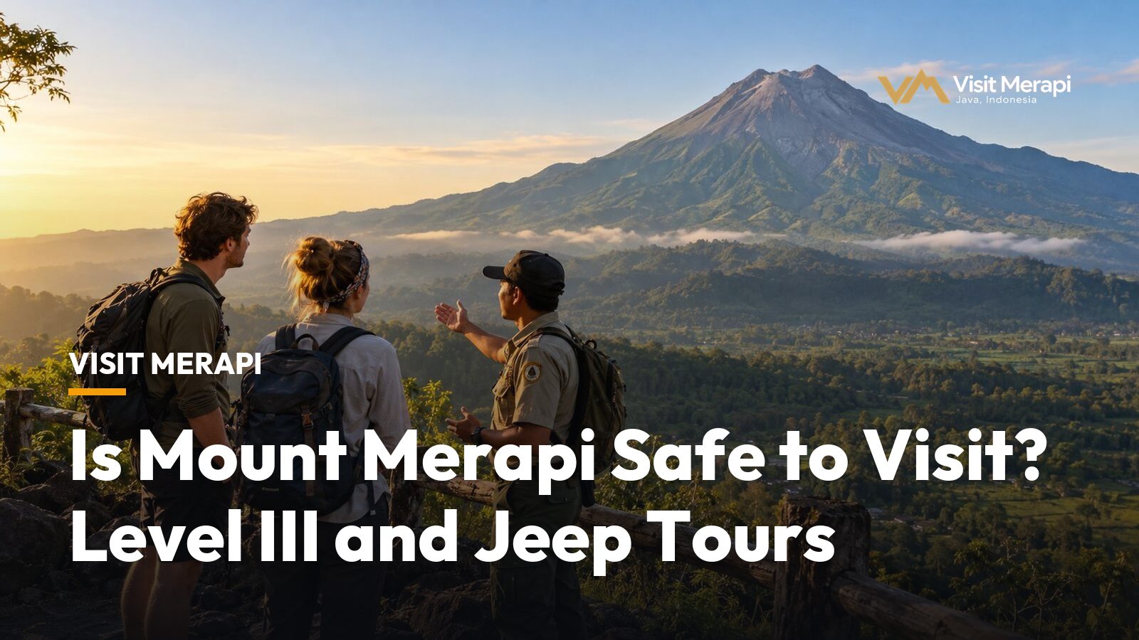
Is Mount Merapi safe to visit? Not risk-free, and anyone who says so is selling something. The summit is closed to climbers, the volcano has been on Alert Level III (Siaga) since November 2020, and the lower slopes can be visited on a guided jeep tour only while conditions allow it. This page gives the October 2026 status in numbers, separates volcanic risk from the ordinary discomforts of the ride, and lists what to check before you book.
Is Mount Merapi safe to visit? The short answer
It depends on three things you can check: the current alert level, which areas are closed that day, and whether your operator follows the official distances. One operator article puts it this way: a Merapi tour “can be safe when the route is open, local authorities allow tourism activity, and the tour operator follows official safety recommendations” (borobudursunrise.com). That is an operator’s view, not a regulation, but it matches the logic of the alert system.
Is Mount Merapi safe to visit this week? That changes from week to week. It is a reason to check, not a reason to panic. The tours covered on our Merapi tour packages page stay on the lower southern slopes around Kaliadem, Kepuharjo and Cangkringan. We found no official map placing the routes inside or outside the river hazard distances, so ask your operator.
What is the current alert level for Mount Merapi?
Merapi is at Level III (Siaga), set on 5 November 2020, according to Yogyakarta’s disaster agency BPBD. BPPTKG, the volcano monitoring centre, kept that level for 8 to 11 October 2026, according to BPPTKG reports quoted by Indonesian media (Suara Garut, Jakarta Globe). We could not open the BPPTKG site itself, so these figures are second-hand.
Under Indonesia’s four-level scheme (Ministerial Regulation 15/2011, summarised by BPBD), Level III means activity has clearly increased, or an eruption could threaten the area around the eruption centre, but not settlements. Level IV (Awas) is the one that threatens settlements. Merapi is not at Level IV.
What BPPTKG recorded, according to Suara Garut’s report of the BPPTKG figures:
- On 11 October: 18 rockfall earthquakes and 22 hybrid earthquakes, plus one shallow volcanic earthquake. Magma supply continues.
- In the week of 2 to 8 October: 1,071 earthquakes and 40 lava avalanches, the longest travelling up to 2,500 metres.
- No pyroclastic flows during that observation week.
This is a snapshot from the days before this page was written, not a forecast.
Hazard distances in numbers
BPPTKG lists potential hazards by river channel, because lava avalanches and pyroclastic flows follow valleys. The figures below come from BPPTKG’s report as relayed by Suara Garut for 8 to 11 October 2026; the Jakarta Globe lists the same distances in an undated report.
| Sector | River | Potential hazard distance |
|---|---|---|
| South to southwest | Boyong | up to 5 km |
| South to southwest | Bedog, Krasak, Bebeng | up to 7 km |
| Southeast | Woro | up to 3 km |
| Southeast | Gendol | up to 5 km |
| All sectors | Explosive ejecta | up to 3 km radius from the summit |
Rain-triggered lahars are a separate warning from the same reports. We could not find an official map that overlays the jeep routes on these channels, so this page does not claim a particular route sits outside them. That is a question for your operator.
Closed areas and open areas
- The summit and upper slopes. Climbing is officially prohibited, with a restricted zone of about 3 km around the summit (backindo.com, as of July 2026). Gunung Bagging lists the mountain as closed since 2018, and AllTrails marks it closed as of August 2026. Any company offering summit trips is working against that rule.
- Any area the authorities restrict on the day. A careful operator changes the route or the date.
- The lower slopes by jeep. Tours run around Kaliadem, Kepuharjo and Cangkringan in Sleman, past the Kaliadem bunker and the Alien Rock.
The risks visitors actually report
Is Mount Merapi safe to visit once the volcano is set aside? People who ask usually mean the volcano, yet most complaints are not about the volcano. A TripAdvisor reviewer titled a post “Merapi is nothing but an ash pit” and wrote that breathing was difficult without masks and that there was no safety equipment on site. A travel blogger who rated a tour “just OK” described a violently bumpy ride, a stripped-down older jeep with a roll-bar and advice that anyone with back problems or car sickness should skip it (Flying High on Points).
Those are single reports, but they point to the everyday risks: dust, rough tracks, heat and sudden rain. Helmets, a mask or buff, closed shoes and a driver who stops where you are told are worth more than any slogan about safety.
How many people died in the 2010 eruption?
The USGS counts 341 deaths and nearly 350,000 evacuated in the October to November 2010 eruption. Wikipedia gives 353 deaths and 350,000 evacuated. The two sources differ by a few people, so we say 341 to 353. Merapi sits above densely populated land, which is why the danger zones and alert levels are strict and why guides take them seriously.
Merapi is not Marapi
Google’s related searches include “Mount merapi hikers killed”. The hiker deaths that this search points to happened on Marapi in West Sumatra, which erupted on 3 December 2023 with 24 hikers found dead near the crater, according to Wikipedia. Merapi, the volcano north of Yogyakarta on Java, is a different mountain, and its summit has been closed to hikers for years. Anyone who searches “is Mount Merapi safe to visit” may land on Marapi news, and the names differ by one letter, so check the island before you read a headline.
Travellers who should think twice
Is Mount Merapi safe to visit for everyone? Not equally.
- Anyone with back, neck, heart or breathing problems, because of bumps and dust.
- Very young children and pregnant travellers: talk to a doctor and ask the operator about age limits.
- Anyone who would be anxious throughout. A temple day or a city day may be a better use of your time.
Checking the status before you go
- Read BPPTKG’s weekly report or its MAGMA Indonesia status page the night before. Both are in Indonesian, and news sites such as Suara Garut summarise them.
- MAGMA’s camera list did not include a Merapi camera when we checked on 14 October 2026. The Yogyakarta provincial CCTV network has a page titled “Gunung Merapi view dari Klangon” (cctv.jogjaprov.go.id); we did not check what it shows.
- Ask your operator on the morning of the tour whether the route changed.
- Take travel insurance that covers adventure activities and read the volcano wording.
Questions to ask an operator
- How do you check the volcano status and weather on the day?
- Which areas are you not allowed to enter at the current alert level?
- If the route is closed, do I get a new route, a new date or a refund?
- Are helmets and insurance included, and what do I need to bring?
An operator who answers these calmly is a better sign than one who says “very safe”. For what the ride costs, see Merapi jeep tour cost, and for more short answers, the Merapi tour FAQ.
Plan a visit
If you are comfortable with the situation, a guided drive is the practical way to see Merapi. Compare the sunrise jeep tour with a private Merapi jeep tour, or send your dates through the contact page and ask what is possible. If the answer to “is Mount Merapi safe to visit” looks like yes after you check, book with a clear reschedule rule. Status changes quickly: the figures here are from the 8 to 11 October 2026 reports, so recheck before you travel.
Merapi Tour FAQ: Questions Travellers Ask Before Booking
Compare tours with their reference prices.
View tours